Rokujurigoe-Kaido: From Honmyoji to Churenji 六十里越街道:松根から注連寺までのコース
The starting point of the Rokujurigoe-Kaido pilgrimage to Mt. Yudono.
| Distance | 6.5km |
| Elevation | 500meters |
| Required Time | 2.3h |
| Danger level | Rather safe *Dangers include:Bear presence |
| Difficulty level (for beginners) | Easy |
| Equipment needed | ● Water ● Hiking shoes ● Rainwear ● Sun hat ● Hiking sticks ● Food or snacks |
Difficulty levels have been designed for people who have a PAI (Personal Activity Intelligence) score inferior or equal to 60. Experienced hikers or persons with a PAI above 100 can withdraw two cases to know the average difficulty for their fitness level. Example: Trails noted “Hard for beginners” correspond to “average” trails for experienced hikers or people with a PAI above 100.
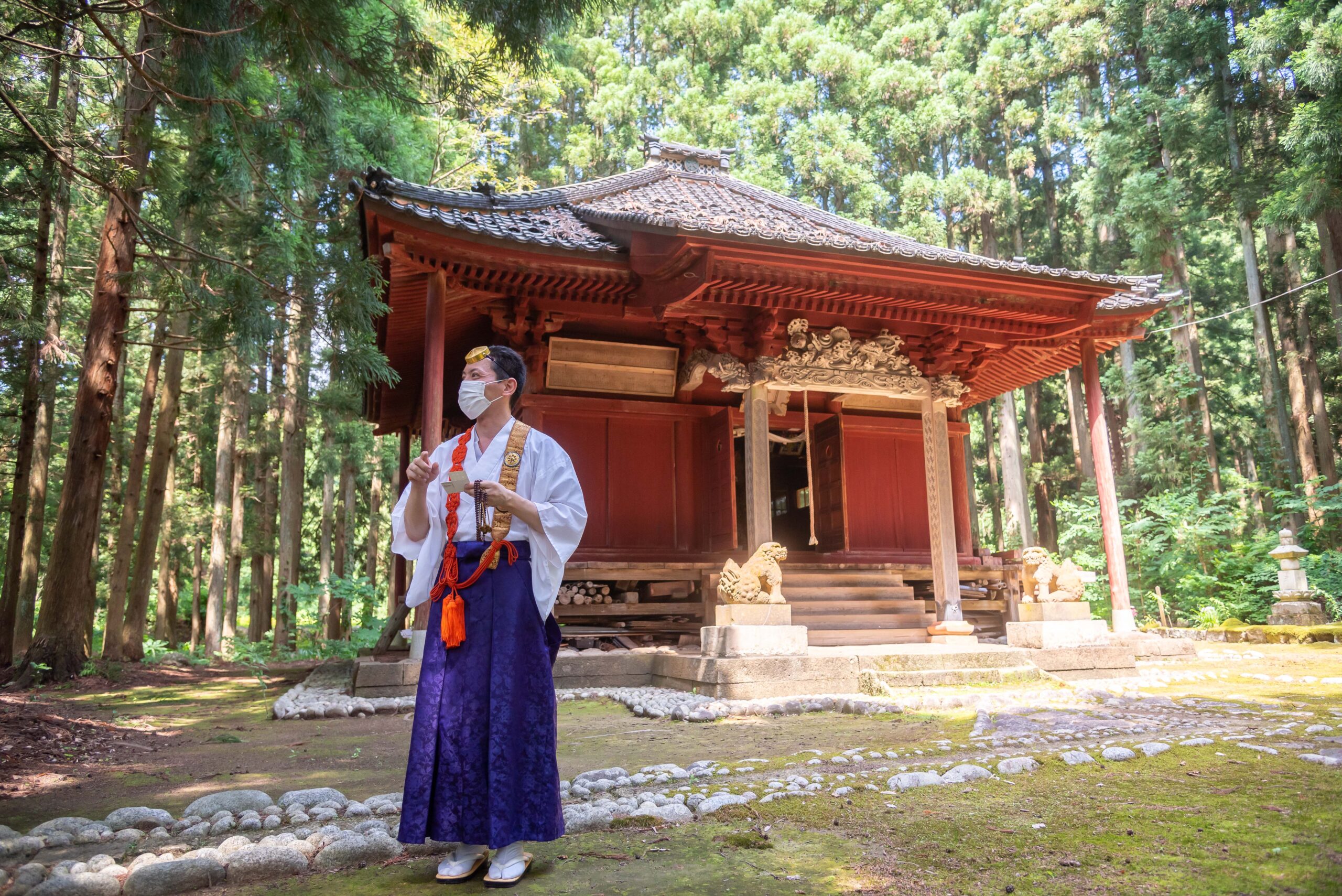
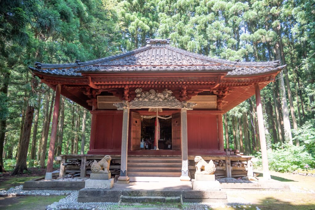
1. Start at Honmyoji Temple. This is what it looks like from below the stairs
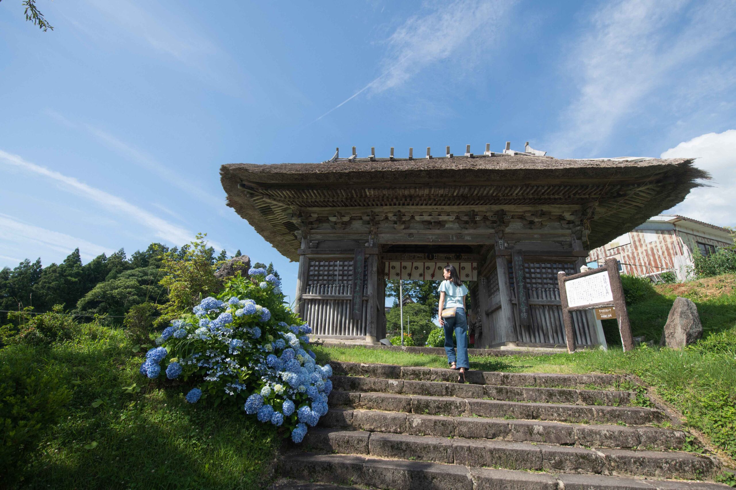
To go to Kami Matsune by bus, take the bus bound for Ochiai 落合, and get off at Kami Matsune’s bus sop 上松根バス停. Locate the torii gate for Hachiman Shrine 八幡神社.

2. Announce yourself inside the building if you wish to visit the mummy

| Relater Link | Honmyoji Temple |
3. Visit the mummy inside the main temple hall
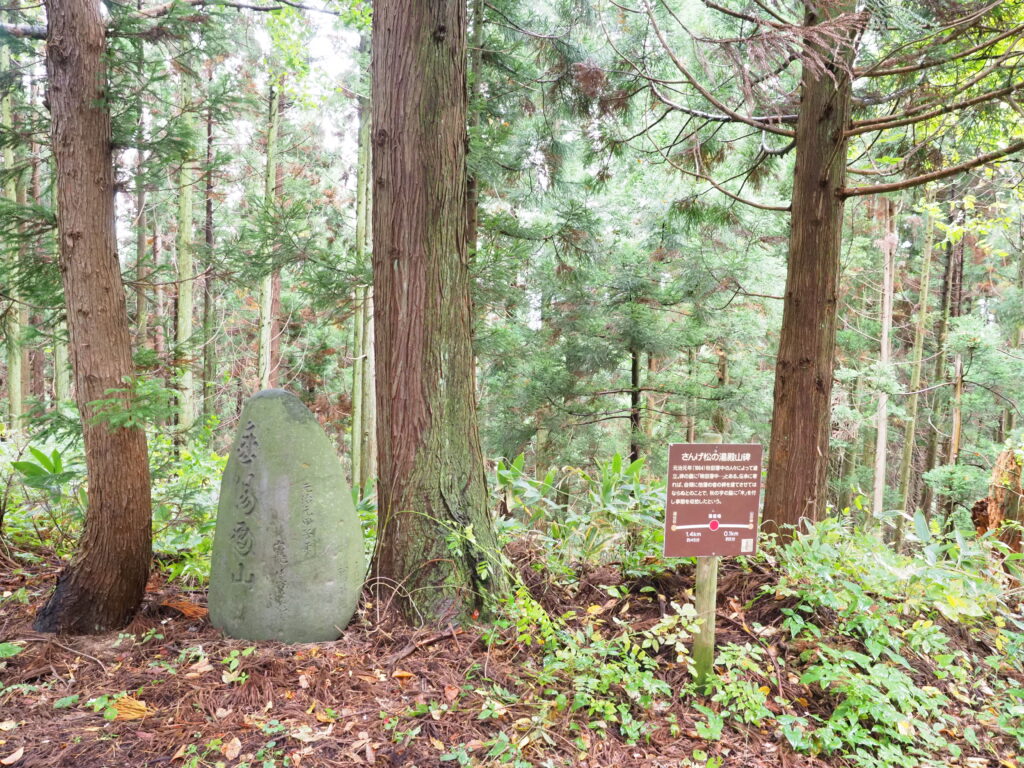
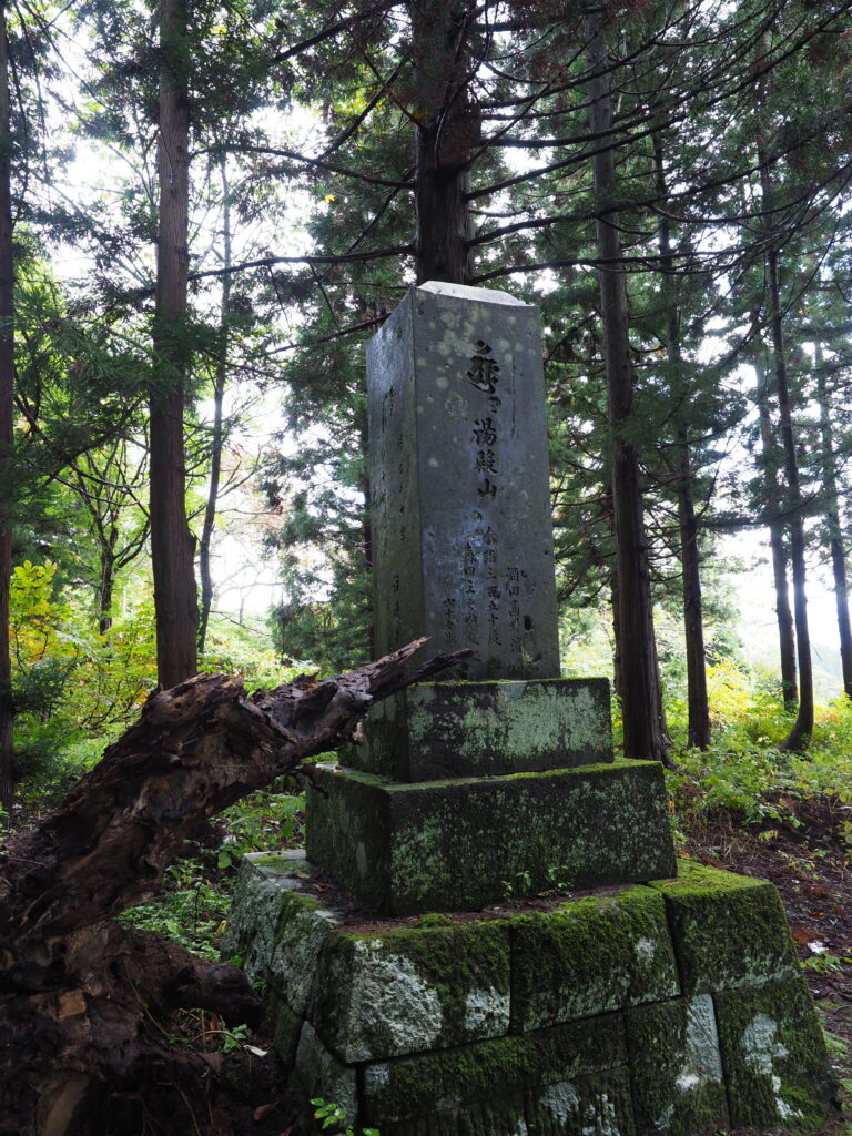
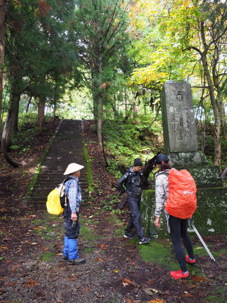
4. Look for this stele around the temple
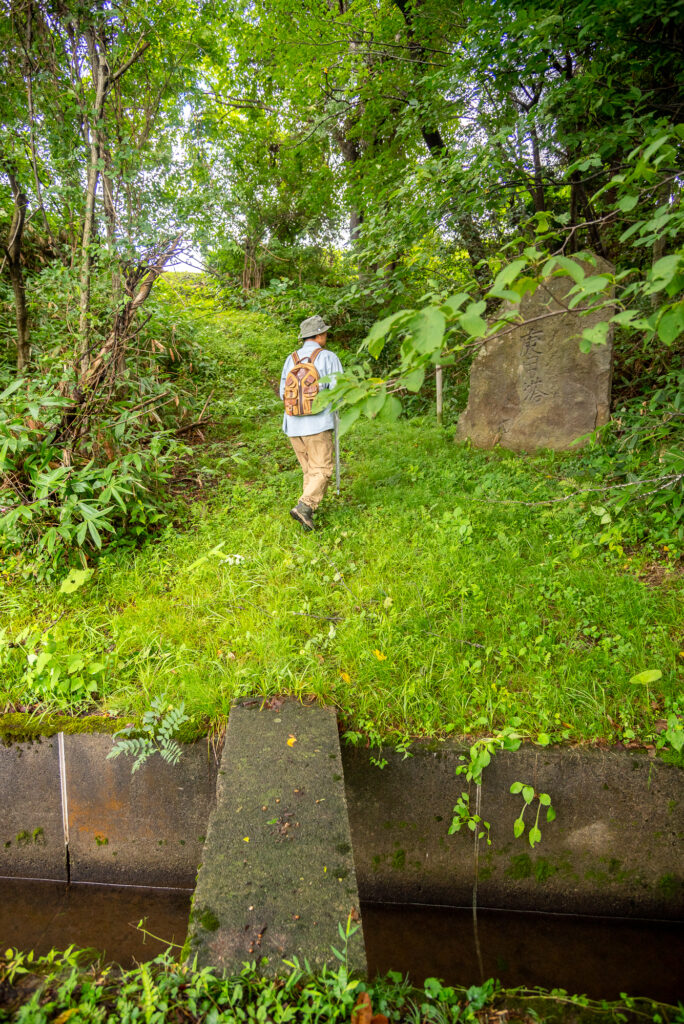
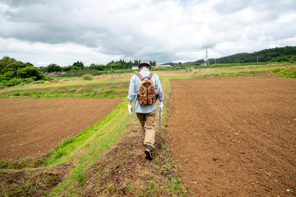
5. Cross the rice fields
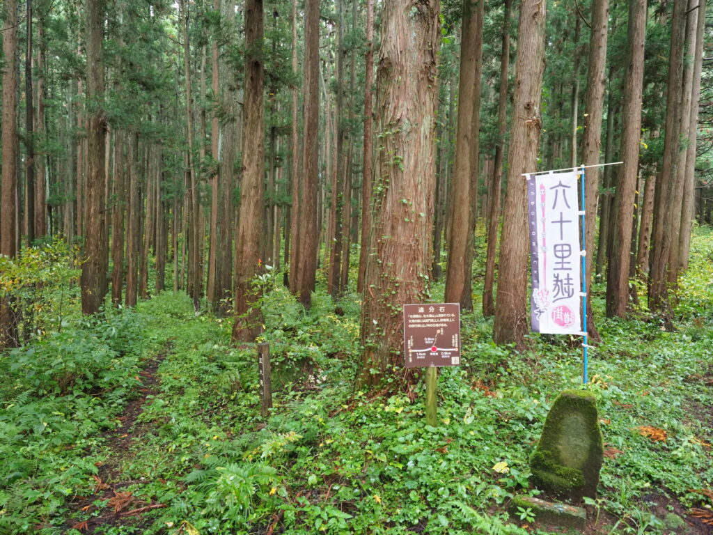
6. You arrive at the Oibunseki stele
7. The Oibunseki looks like this
This is what the Oibunseki 追分石 looks like.
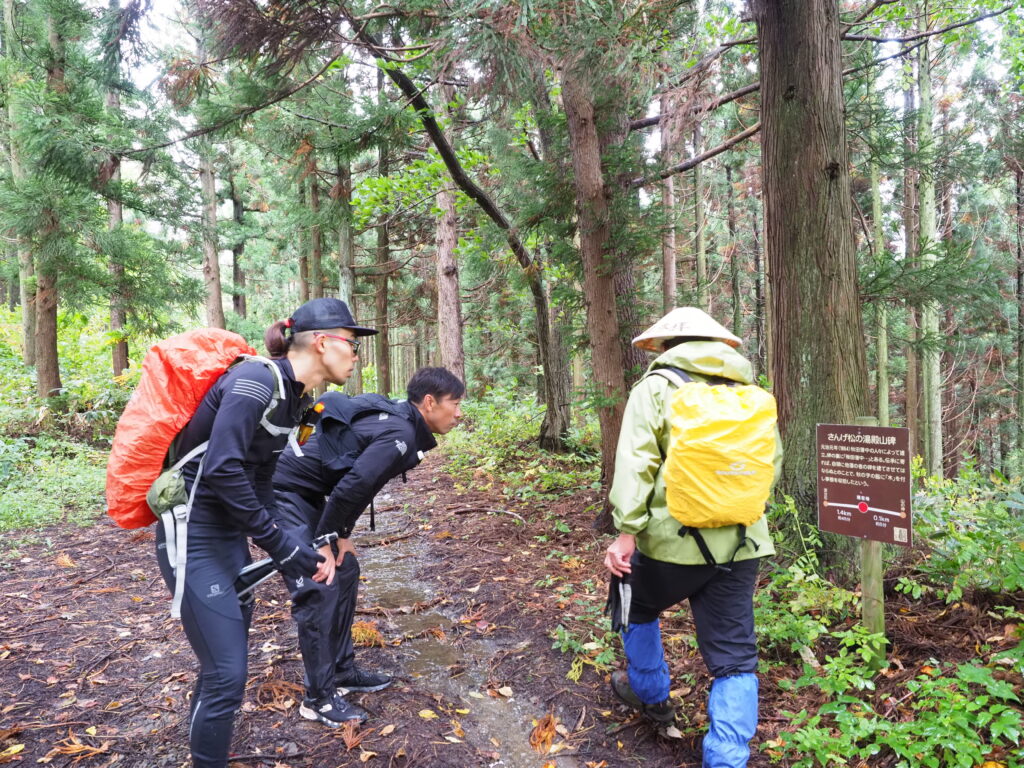
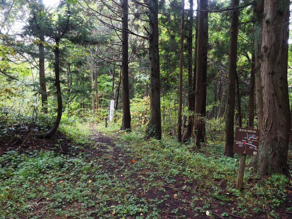
8. Follow the path on the left
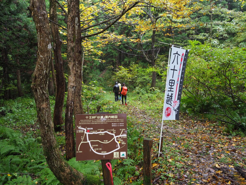
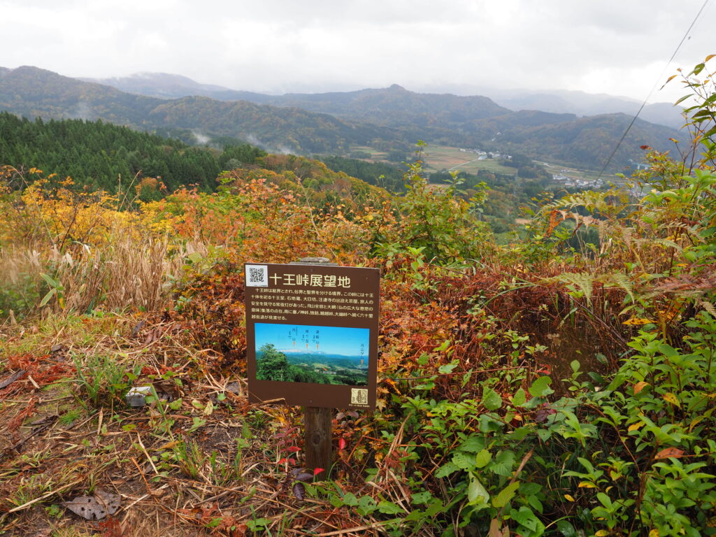
9. Follow the path to Juotoge
The Juotoge 十王峠 is a sacred place of Buddhism. You’ll reach it after following this path for a while.
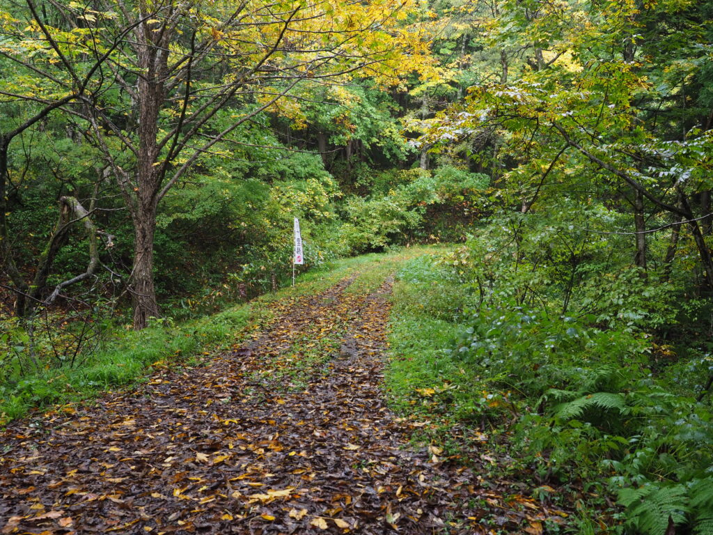
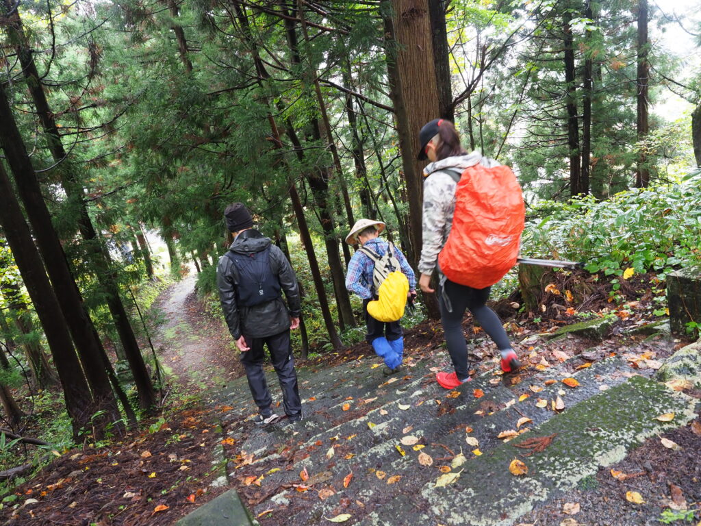
10. Continue straight
11. Another sign tells you you’re on the right way to Juotoge
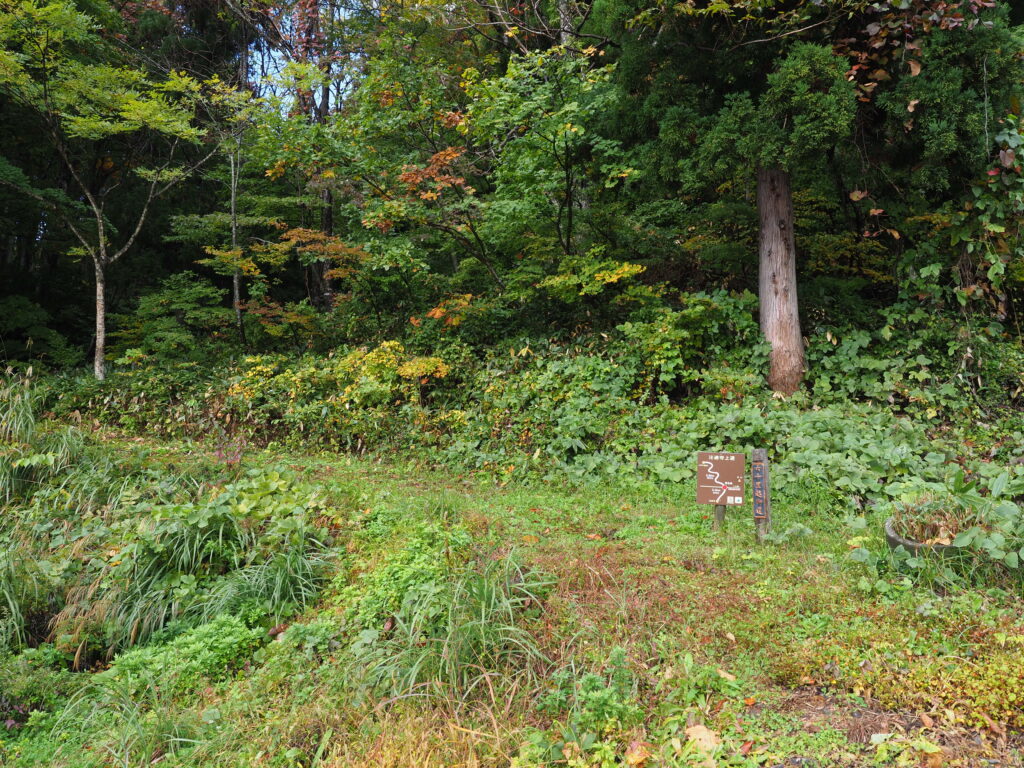
12. You get out of the forest
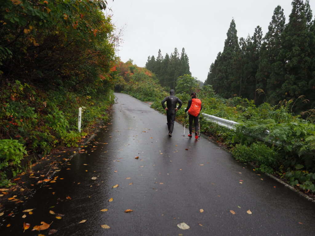
13. Follow the paved road for a while
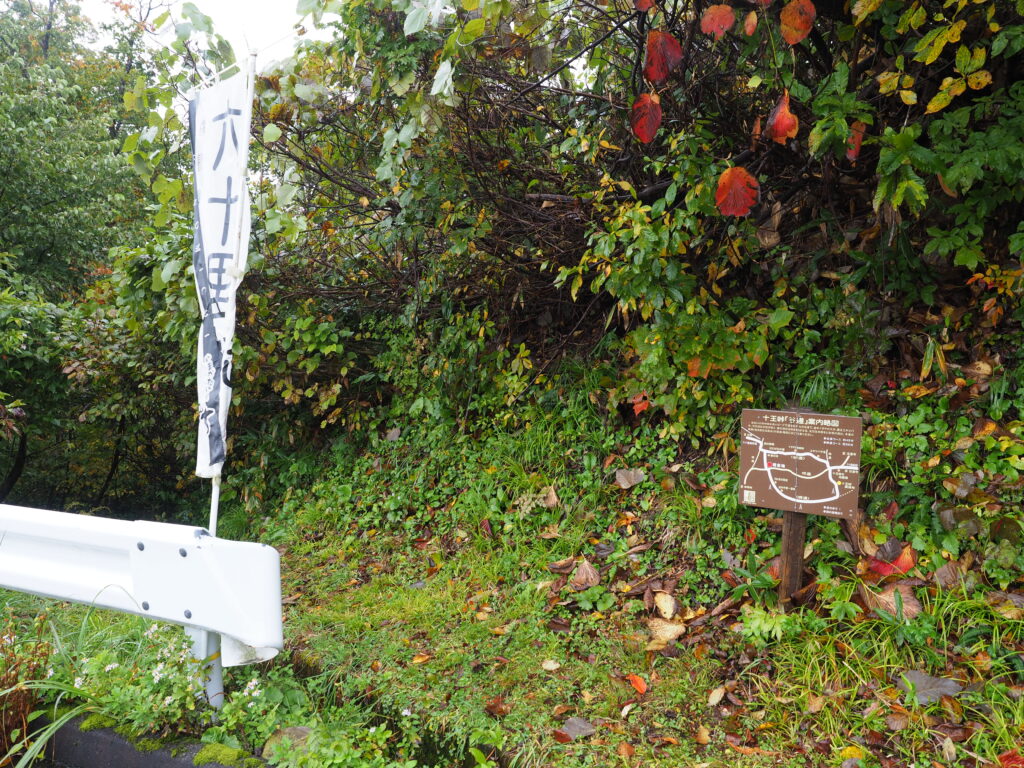
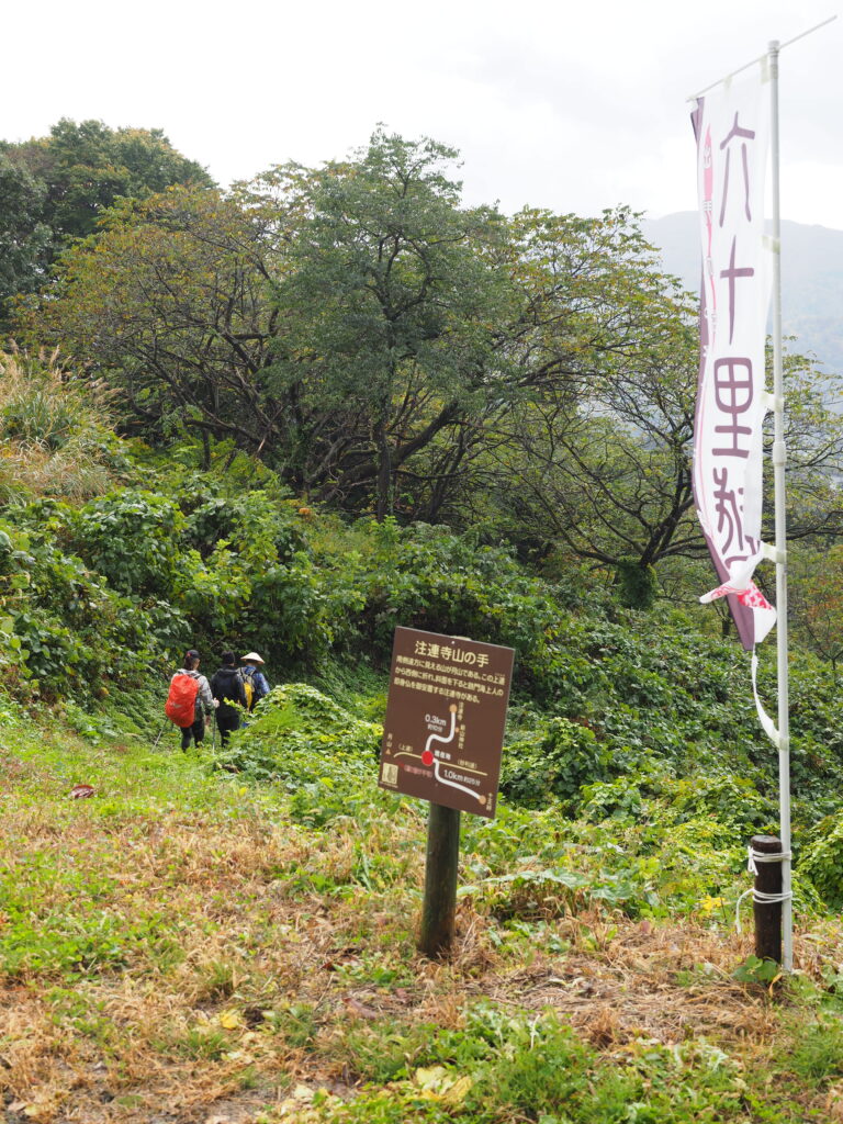
14. You will spot the Rokujurigoe Kaido flag again
15. Go back to the dirt road
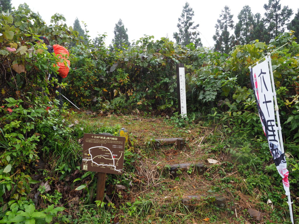
16. A sign tells you you arrived in Juotoge’s lands
17. Take a rest at the Juotoge’s ruins
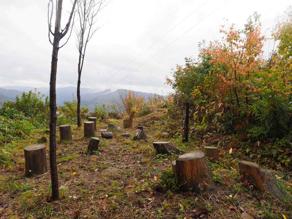
The logs indicate the presence of a now lost teahouse: the Juotoge chaya.
18. Go back to the paved road
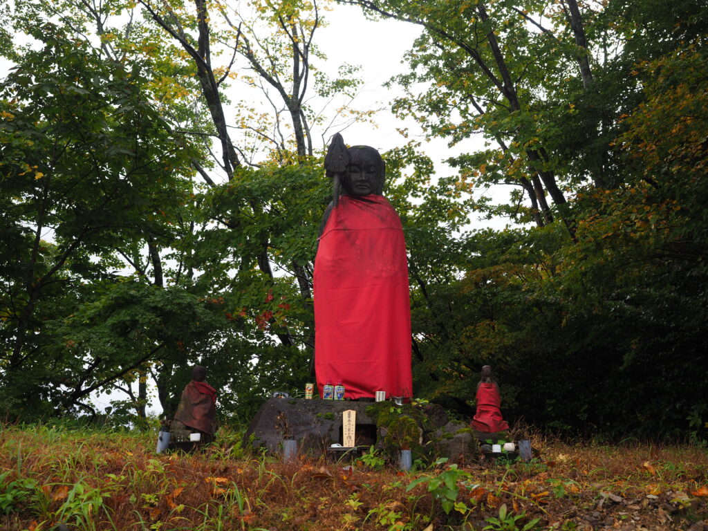
19. You see the Juotoge’s Buddhist statues
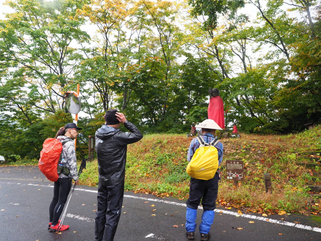
20. Juotoge’s Buddhist statues
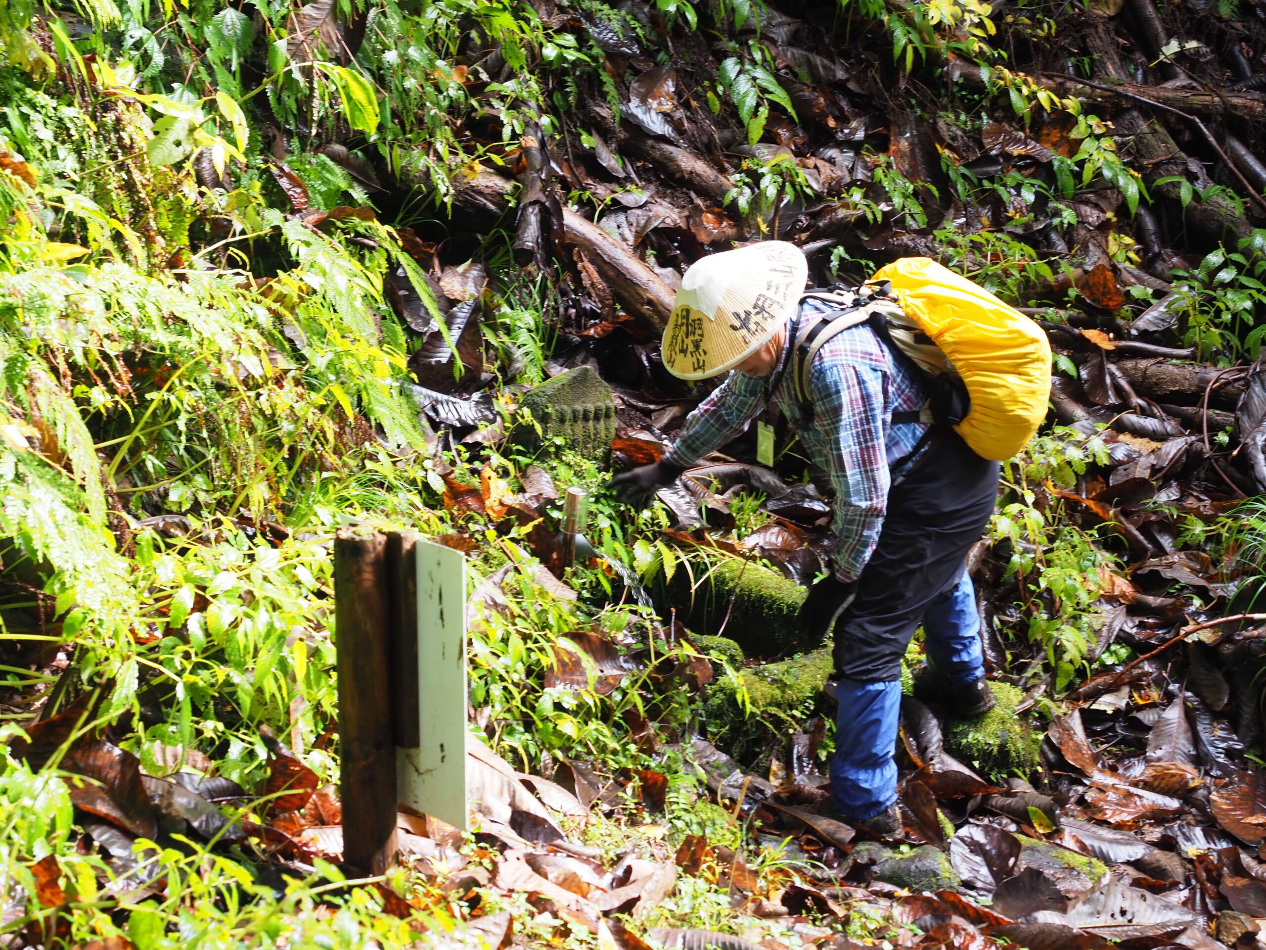
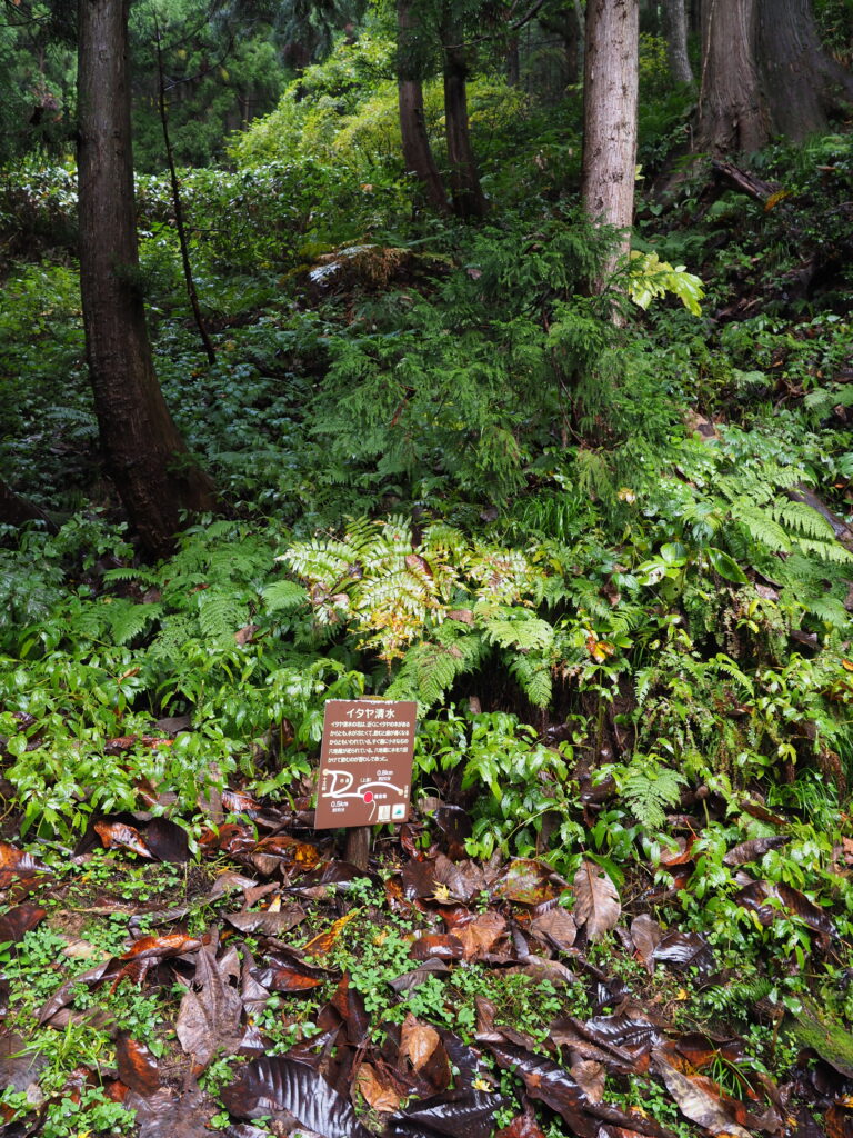
21. Go back to the dirt road to find the Itaya Spring

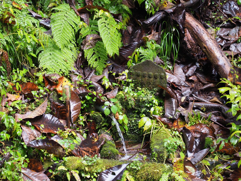
Fill your water bottles at this natural spring: the Itaya Shimizu イタヤ清水.
22. The spring is near this sign
23. Buddhist relics around the spring
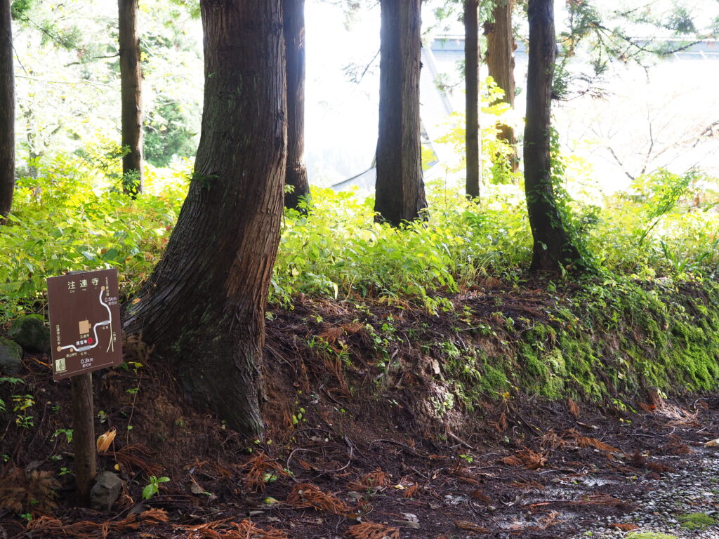
24. Follow this path
25. Follow the directin indicated on this sign
26. Climb down the stairs
27. Spot this stela dedicated to Churenji temple
28. Go up the stairs to find the temple
29. A sign indicates you are following the right way
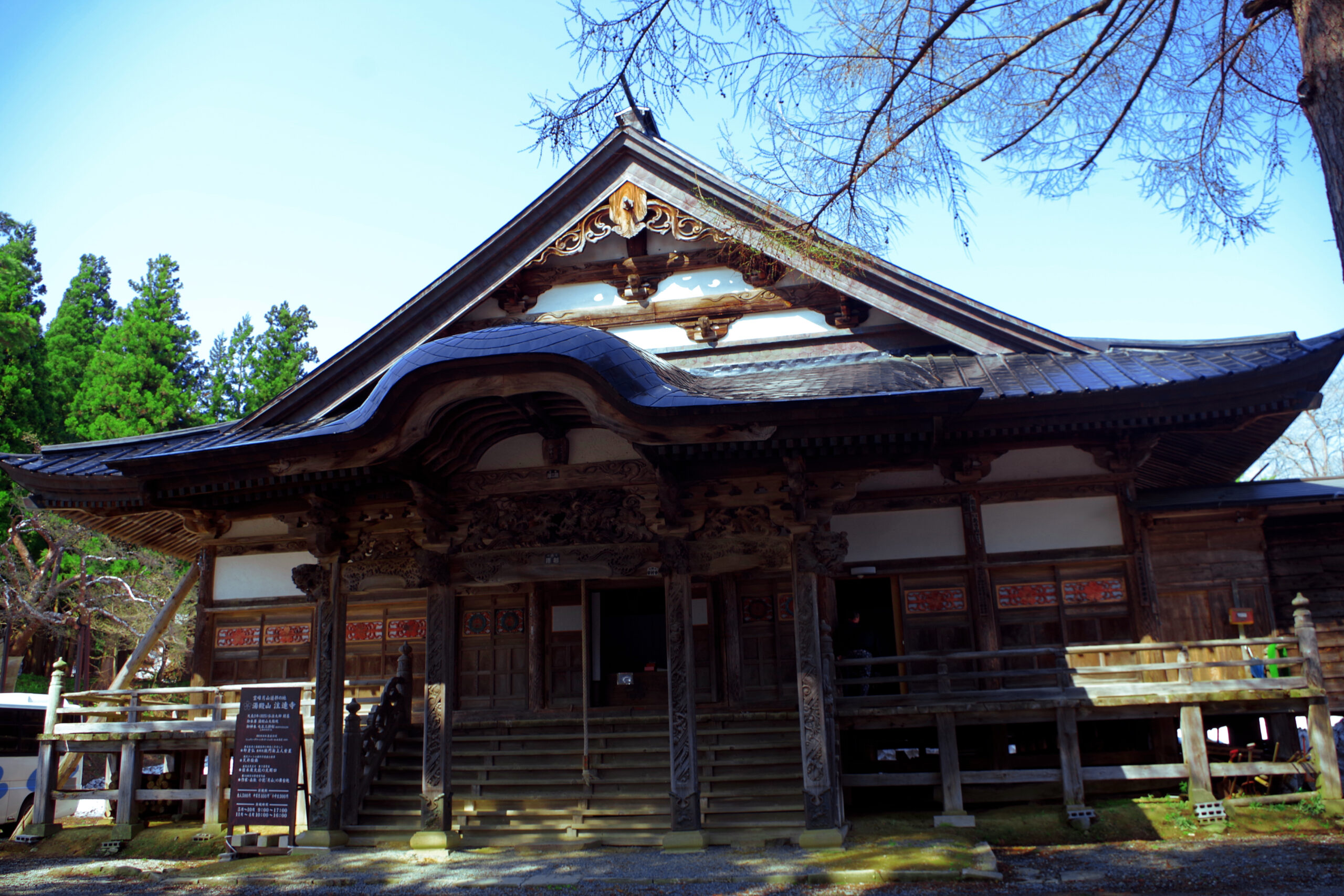
30. You arrived at Churenji Temple!
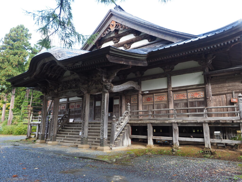
The entry to Churenji temple costs 500 yen per person, and includes the visit to the Sokushinbutsu mummy.
| Related Link | Churenji Temple |