Rokujurigoe-Kaido: From Churenji to Dainichibo Temple 六十里越街道:注連寺から大日坊
The road that connects two of the most important temples in Mt. Yudono’s history, each entombing a Sokushinbutsu mummy.
| Distance | 3km |
| Elevation | 10meters |
| Required Time | 0.3h |
| Danger level | safe *Dangers include:Bear presence, Paved road (cars) |
| Difficulty level (for beginners) | Very Easy |
| Equipment needed | ● Water ● Hiking shoes ● Rainwear ● Sun hat |
Difficulty levels have been designed for people who have a PAI (Personal Activity Intelligence) score inferior or equal to 60. Experienced hikers or persons with a PAI above 100 can withdraw two cases to know the average difficulty for their fitness level. Example: Trails noted “Hard for beginners” correspond to “average” trails for experienced hikers or people with a PAI above 100
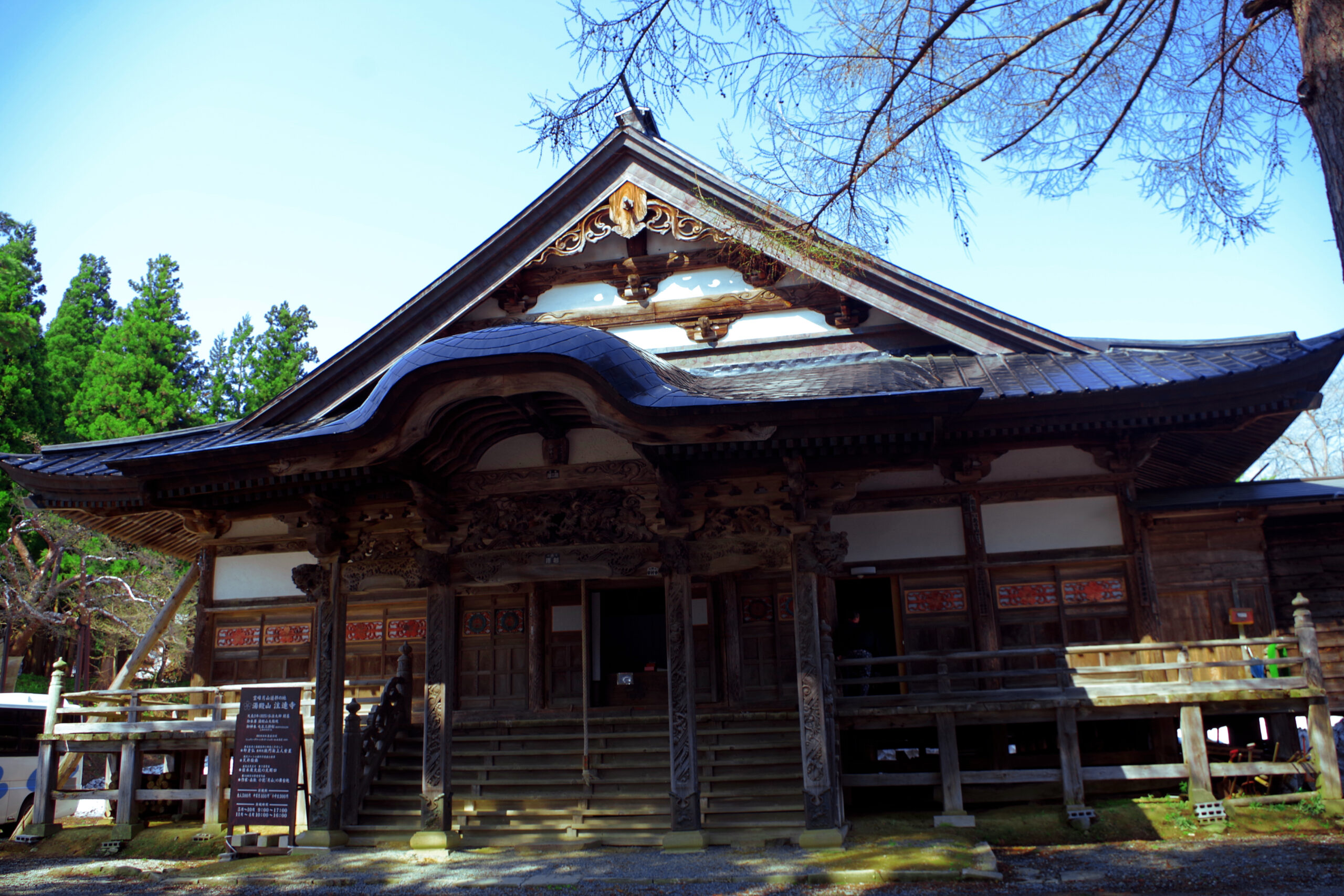
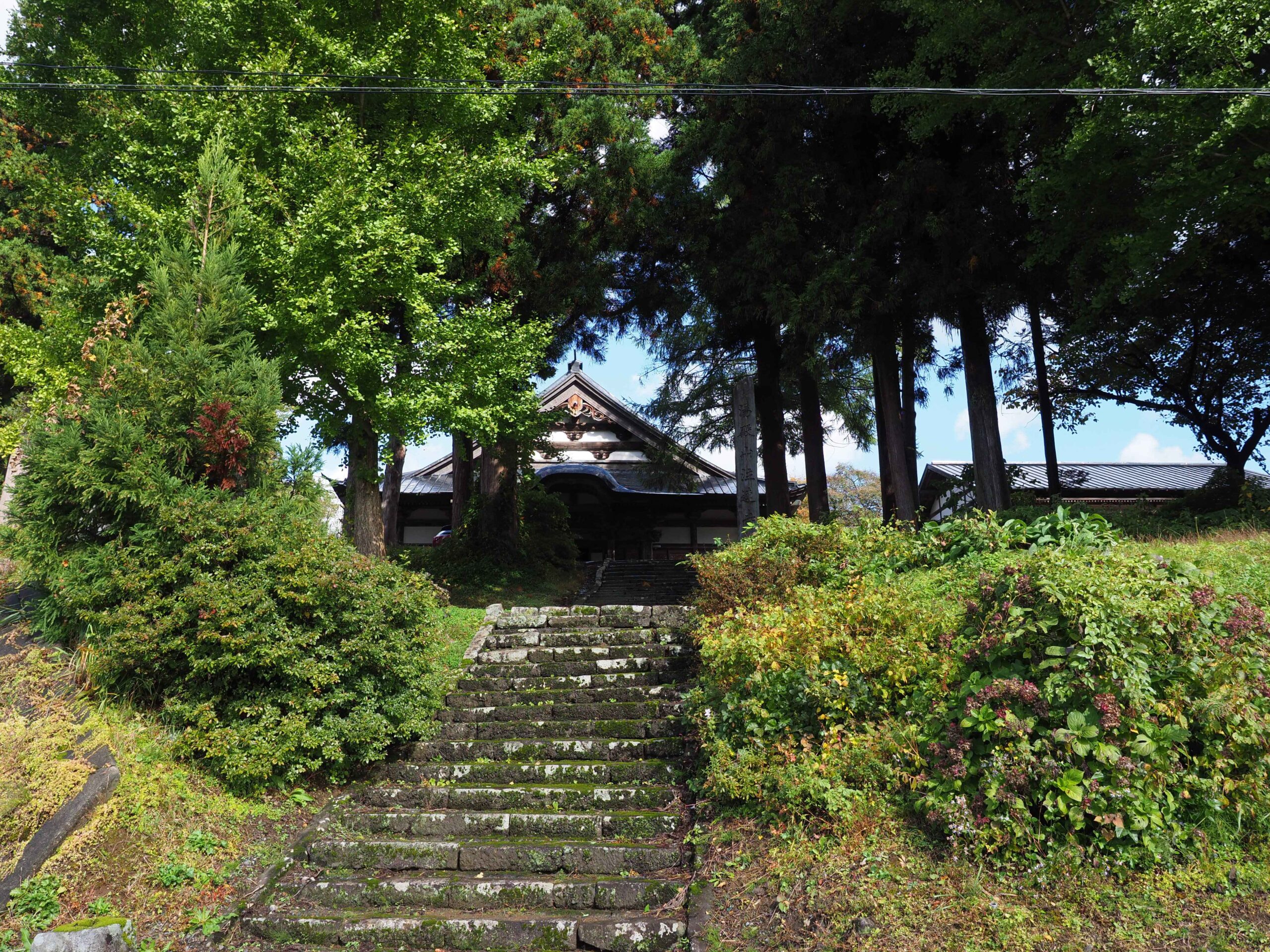
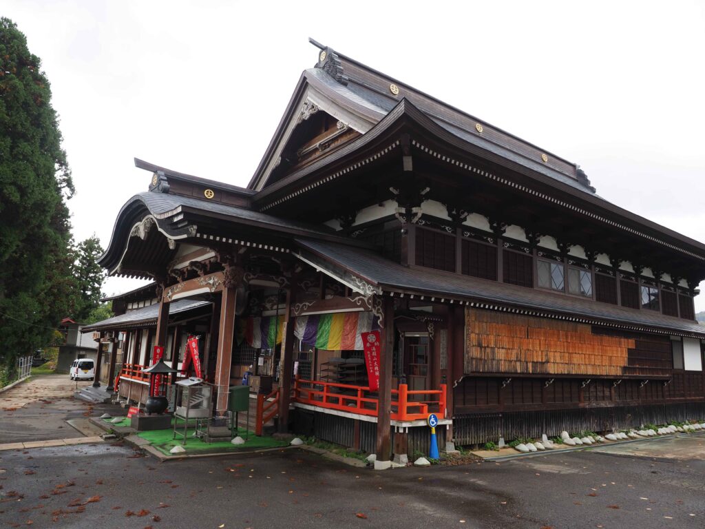
1. Start from Churenji Temple
| Related Link | Churenji Temple |

2. Get down the stairs in front of Churenji temple
3. Follow the paved road for a while
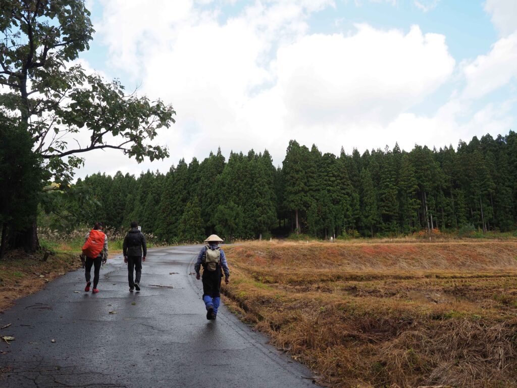
4. Follow the narrow path near a house.
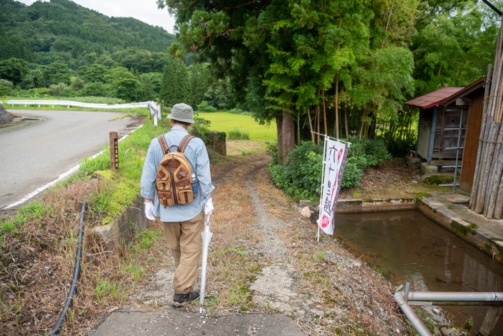
You can locate the path thanks to the Rokujurigoe-kaido flags and signs.
5. You arrive at ricefields
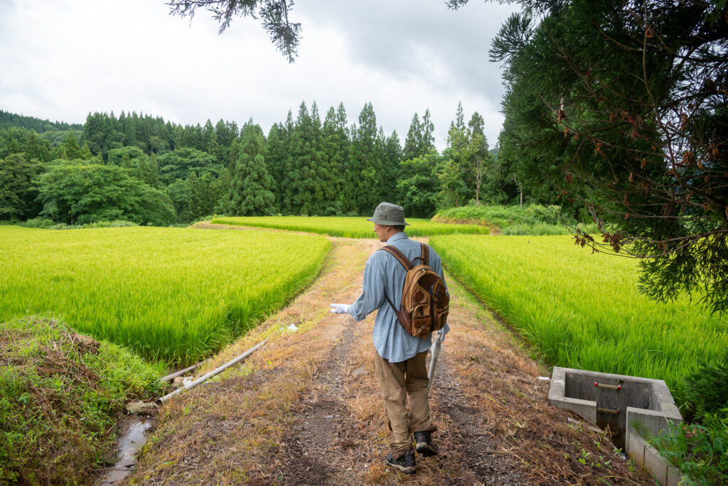
6. Take the path on the right
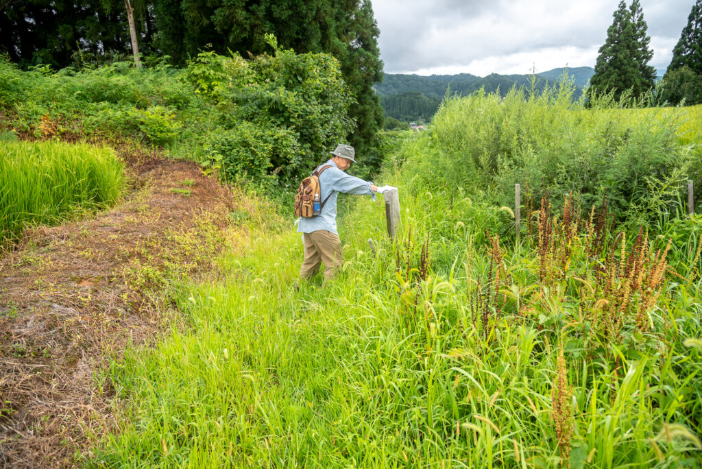
It might be hard to spot if the vegetation has gotten wild during summer.
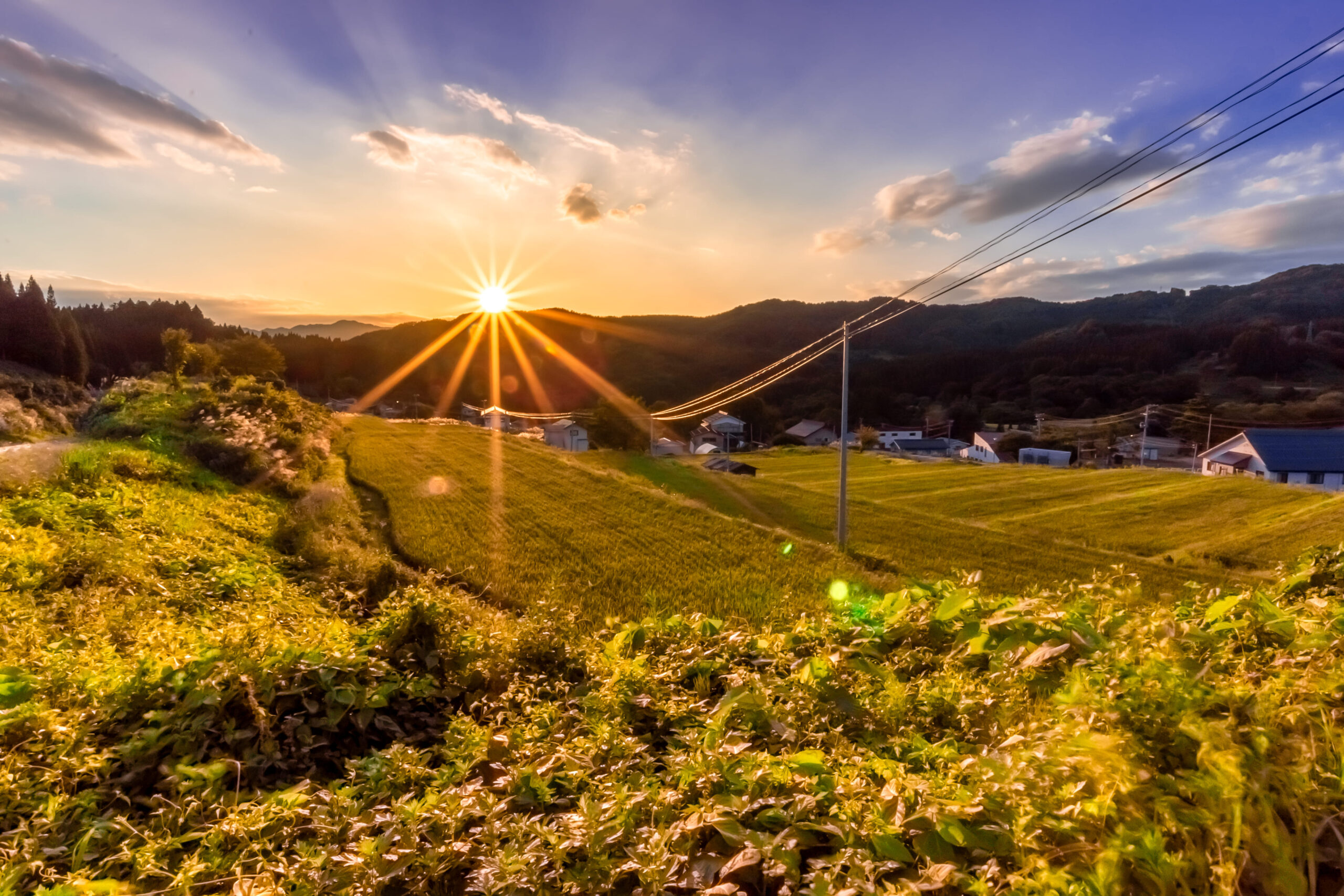
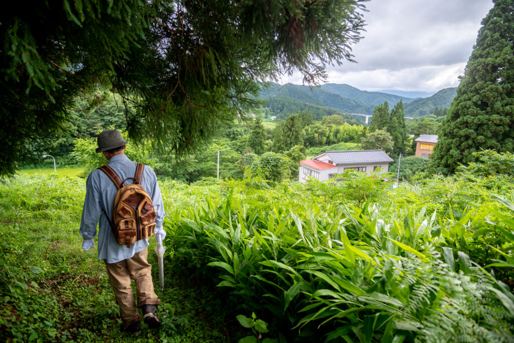
7. You start to spot the other side of Oami village
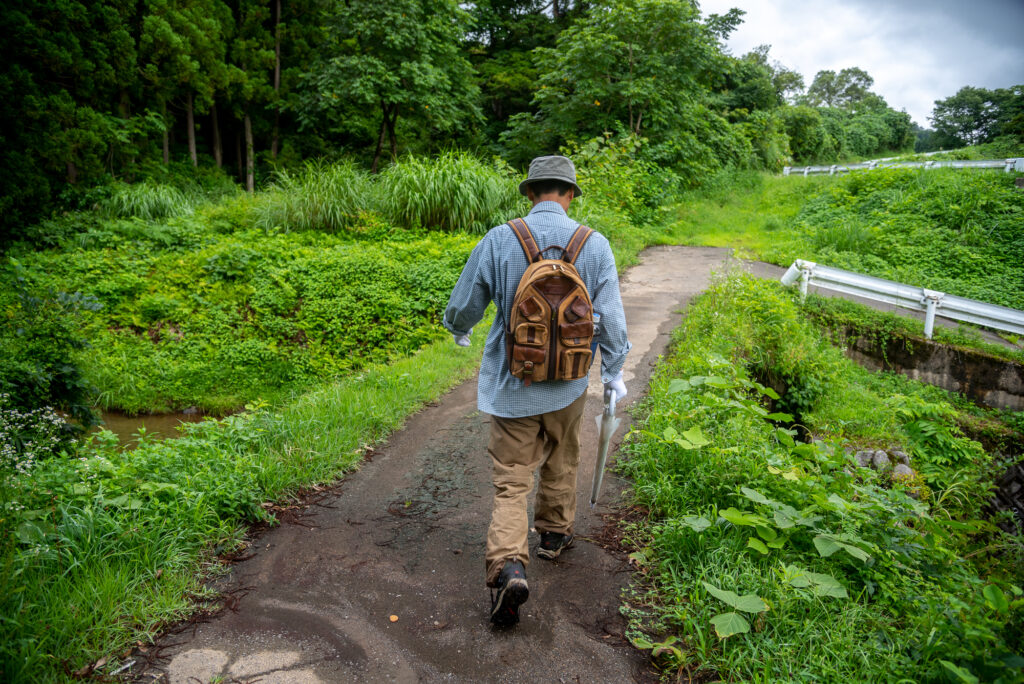
8. Go back to the paved road
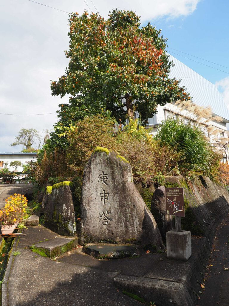
9. After a while you spot this intersection
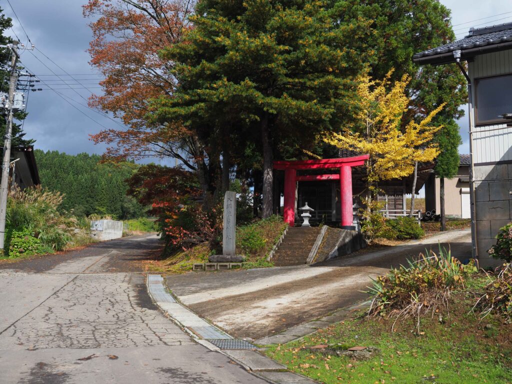
10. Find this stele. It indicates you’re heading in the right direction
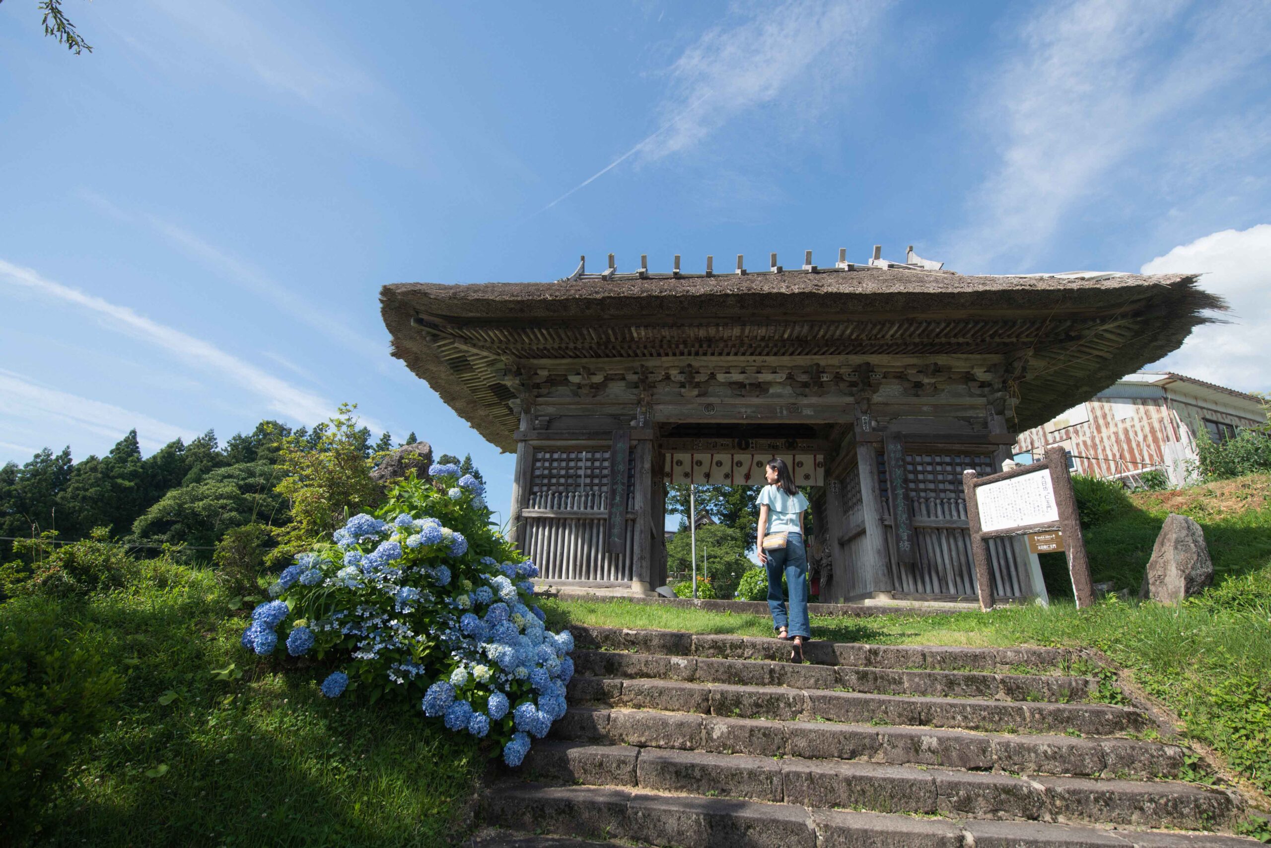
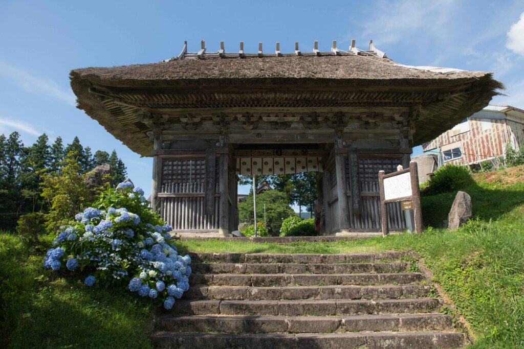
11. You can enter Dainichibo temple through this gate or enter through the parking lot
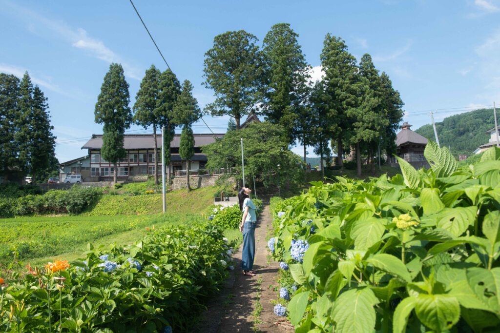
12. Dainichibo’s hydrangea garden
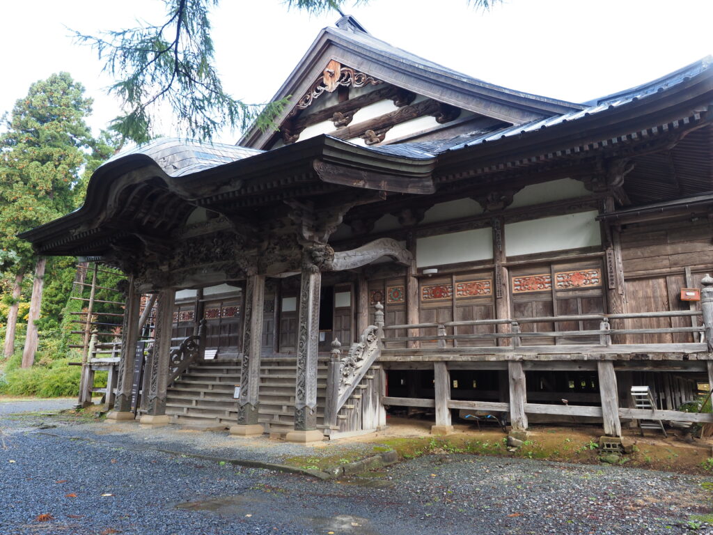
13. Dainichibo temple
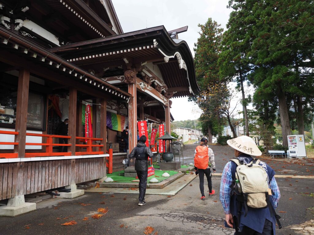
14. Other view of Dainichibo temple
| Related Link | Dainichibo Temple |